
Taklamakan is a vast desert full of ancient ruins of mysterious origin. The area is today governed by China and populated by the Uyghur people.
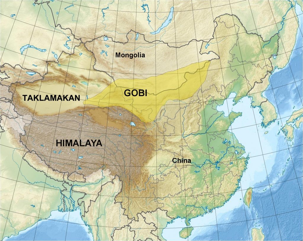
The location of Taklamakan is north of Tibet and west of the Gobi desert.
But according to ancient maps, this barren land was once a fertile and densely populated part of the lost Kingdom of Tartary.
This 1500s map shows the pre-cataclysmic state of Asia:
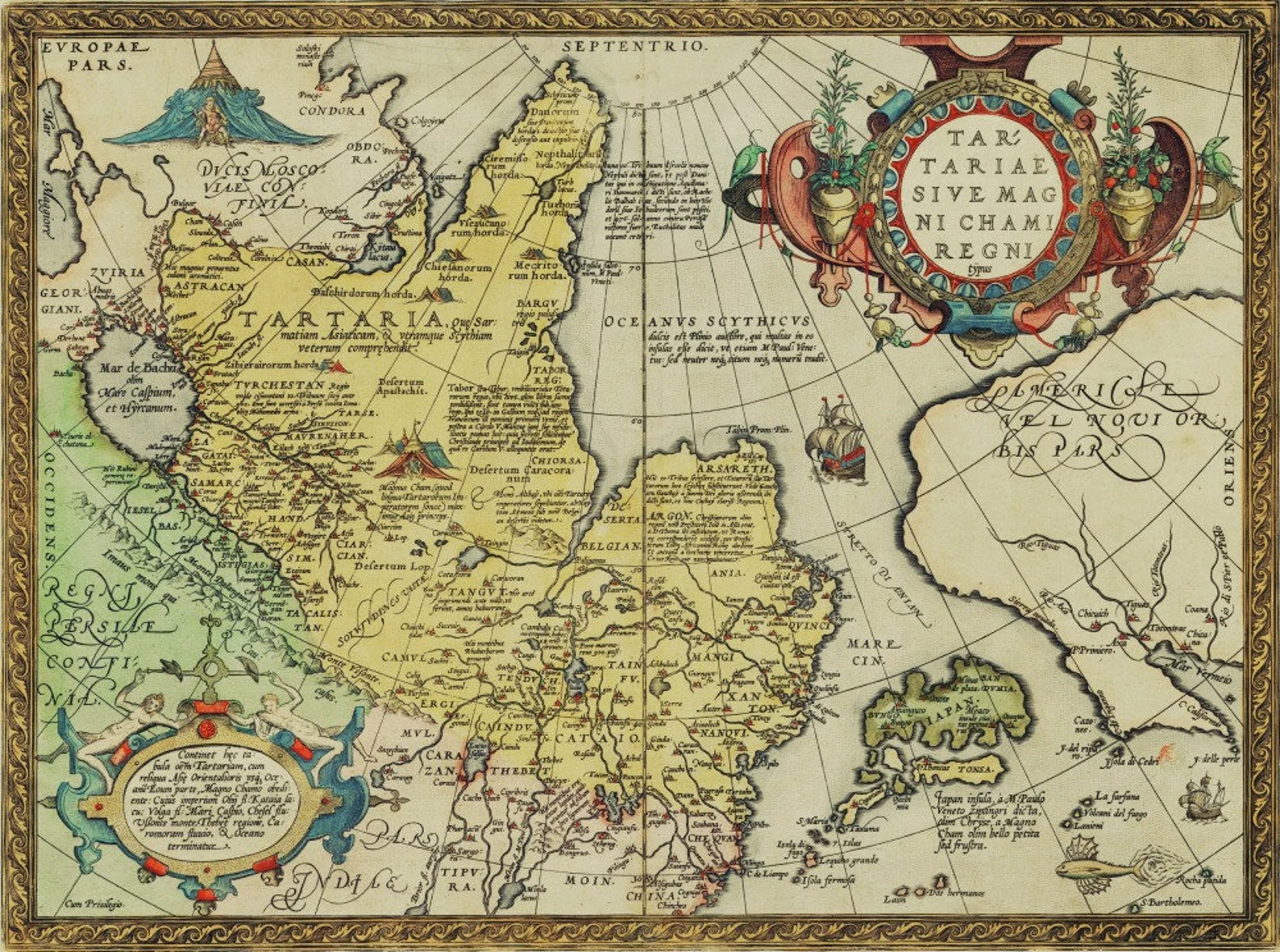
North of Tibet (here called Thebet) we see the Tartarian countries of Cataio, Tenduch and Tangut. We see a large lake where today we find only desert. We see cities!
This reminds me of the old maps of Arabia and North America that showed lakes, rivers and cities where today we find only desert and barren land.
There are so many ruins in this desert that cataloguing them all here would take years of work. Just a few in and around Taklamakan:
The Jiaohe ruins, also called Yarkhoto and Yarguhl, near Turpan:
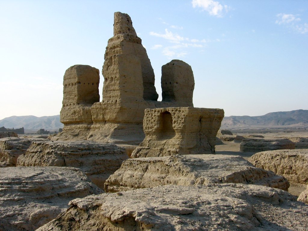
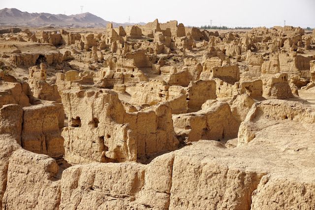

As in other places, I get the sense these cities were melted with high-tech weapons.

The ruins of Dunhuang, in the Gansu province of western China.
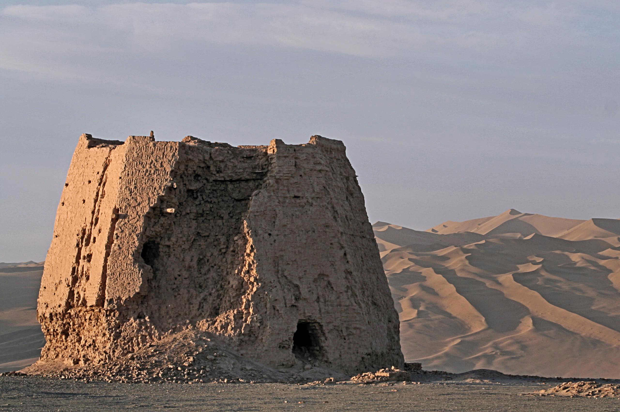

Like in the Grand Canyon, you can still make out windows and steeples or spires in some of these former buildings.

All throughout Taklamakan you find structures “in the middle of nowhere”. I’d bet money there’s more of these two buried under the sand.
The ruins of Khara-Koto
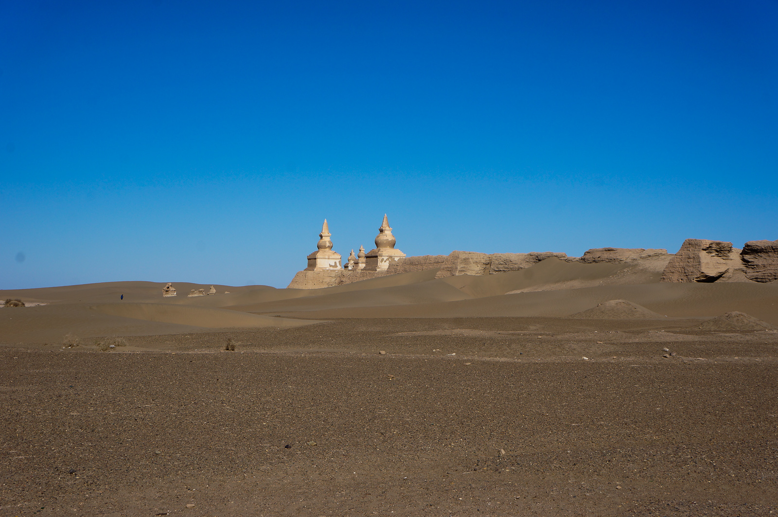
This is said to be a city built by the Tangut people (a tribe within the Kingdom of Tartary), now mostly buried under sand.

Thousands of Christian and Buddhist paintings and artifacts have been dug up at this site.
On a related note, these are the Tangut Dharani pillars, one of only two places where they supposed “Tangut script” was found written on. They are claimed to be from the year 1502:
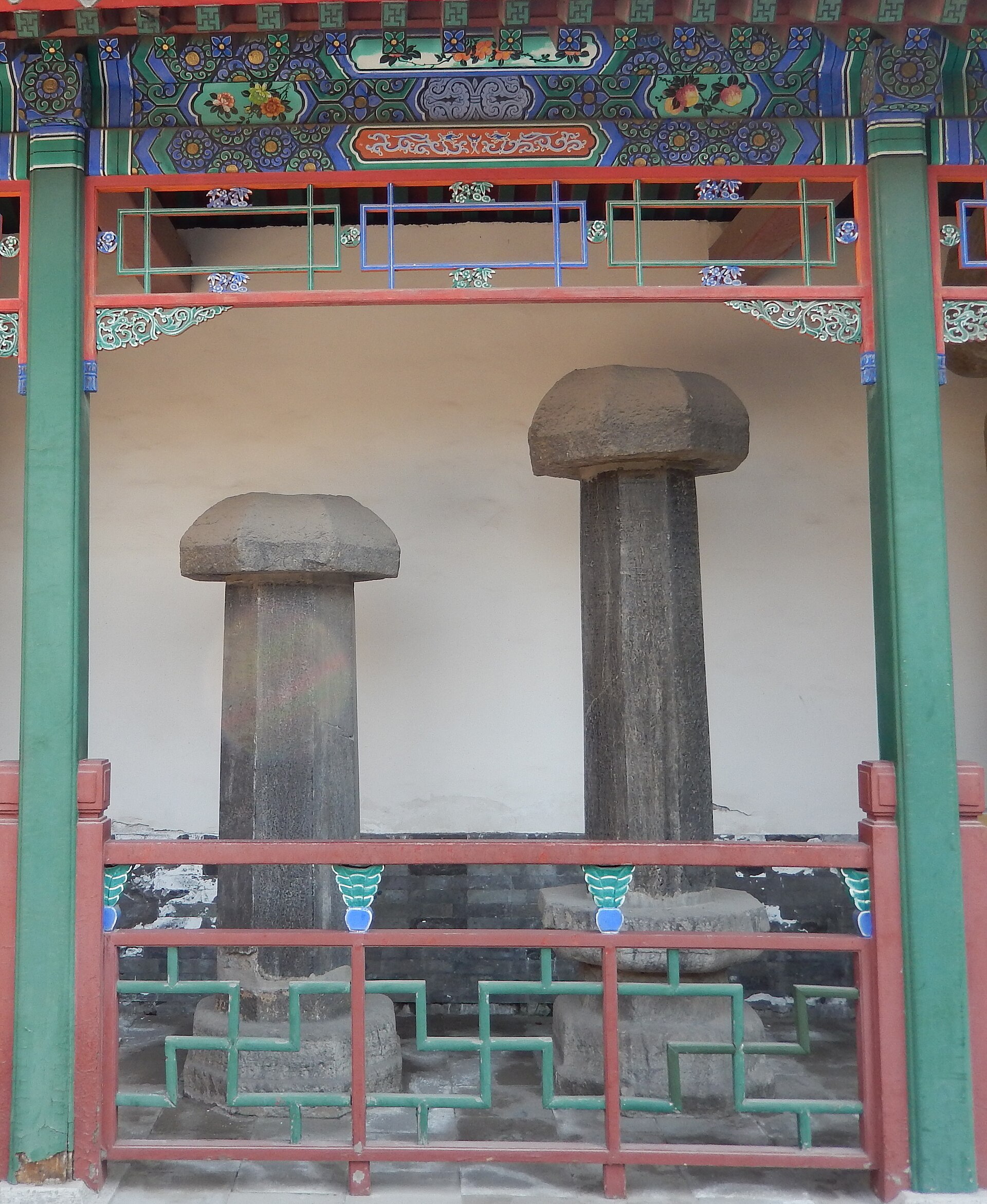
These weren’t directly found in the desert but dug up in 1962 nearby. I mention them here because the only such pillars that were ever found either contain Buddhist or christian writings. This matches my earlier claim that the Tartarians followed both Buddhism and Christianity.
The ruins of Miran at the southern rim of the Taklamakan Desert.
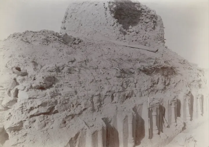
I’m using an older image because in the 1800s the pillars were still visible. On newer photos one sees the pillars are gone, leaving nothing but a pile of rubble. Unfortunately this kind of vandalism and obfuscation is fairly common. Without the deliberate destruction of ancient buildings, our schools would be teaching a very different view of History.
Some frescoes at Miran:
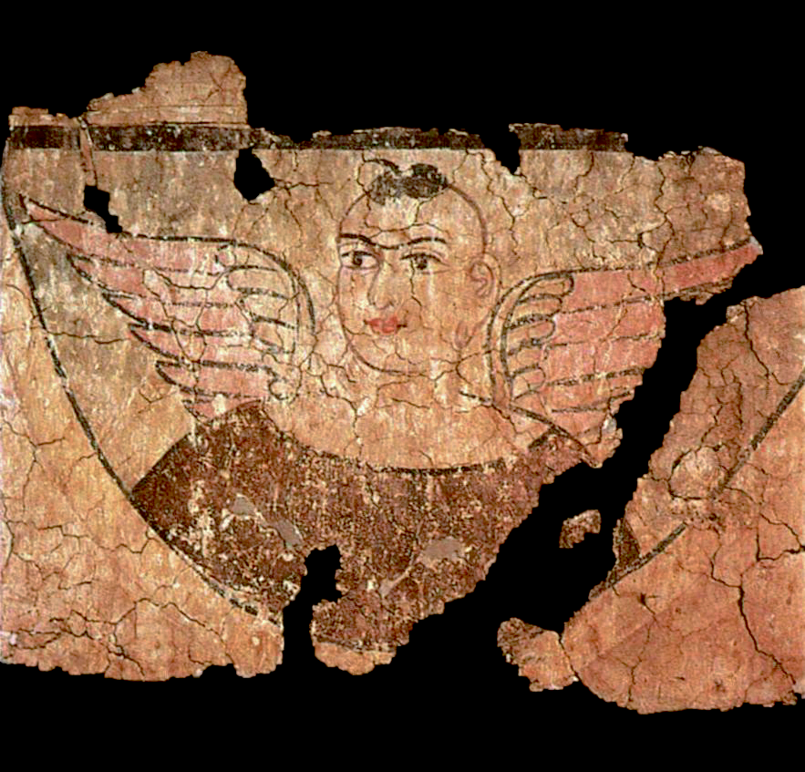

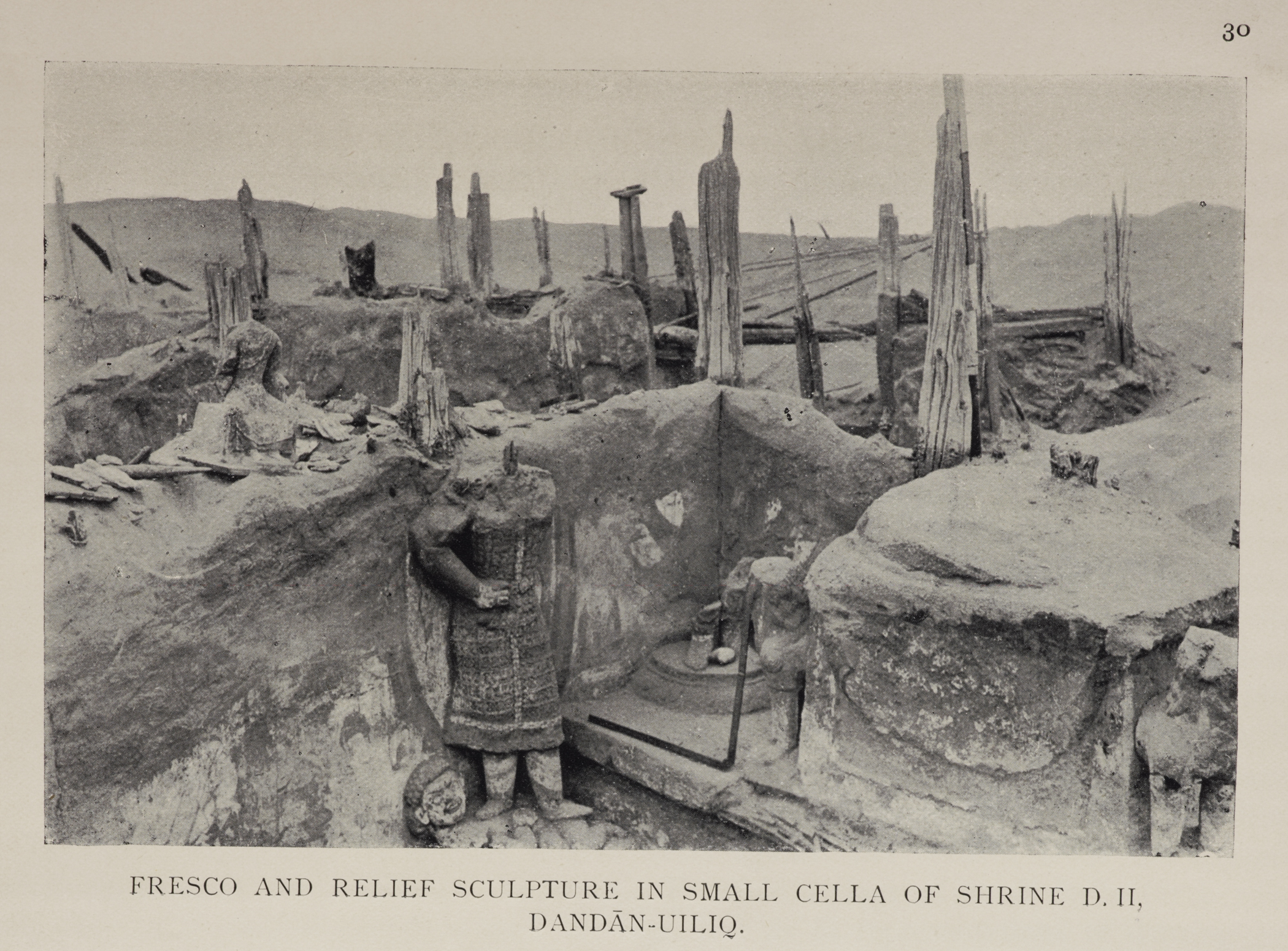
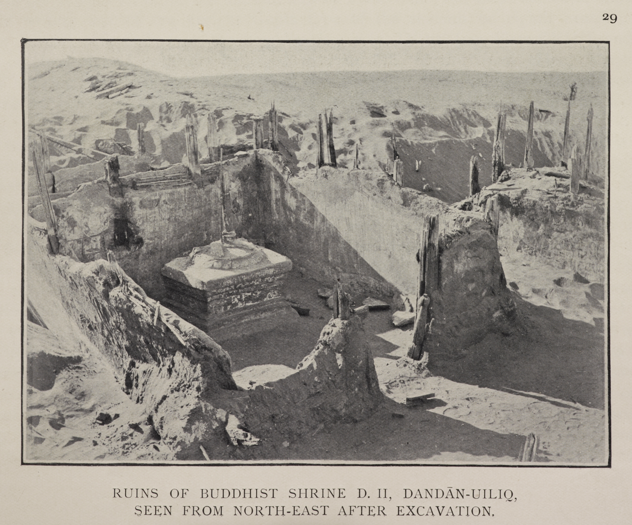
Desert ruins of Dandan Oilik, near Hotan.
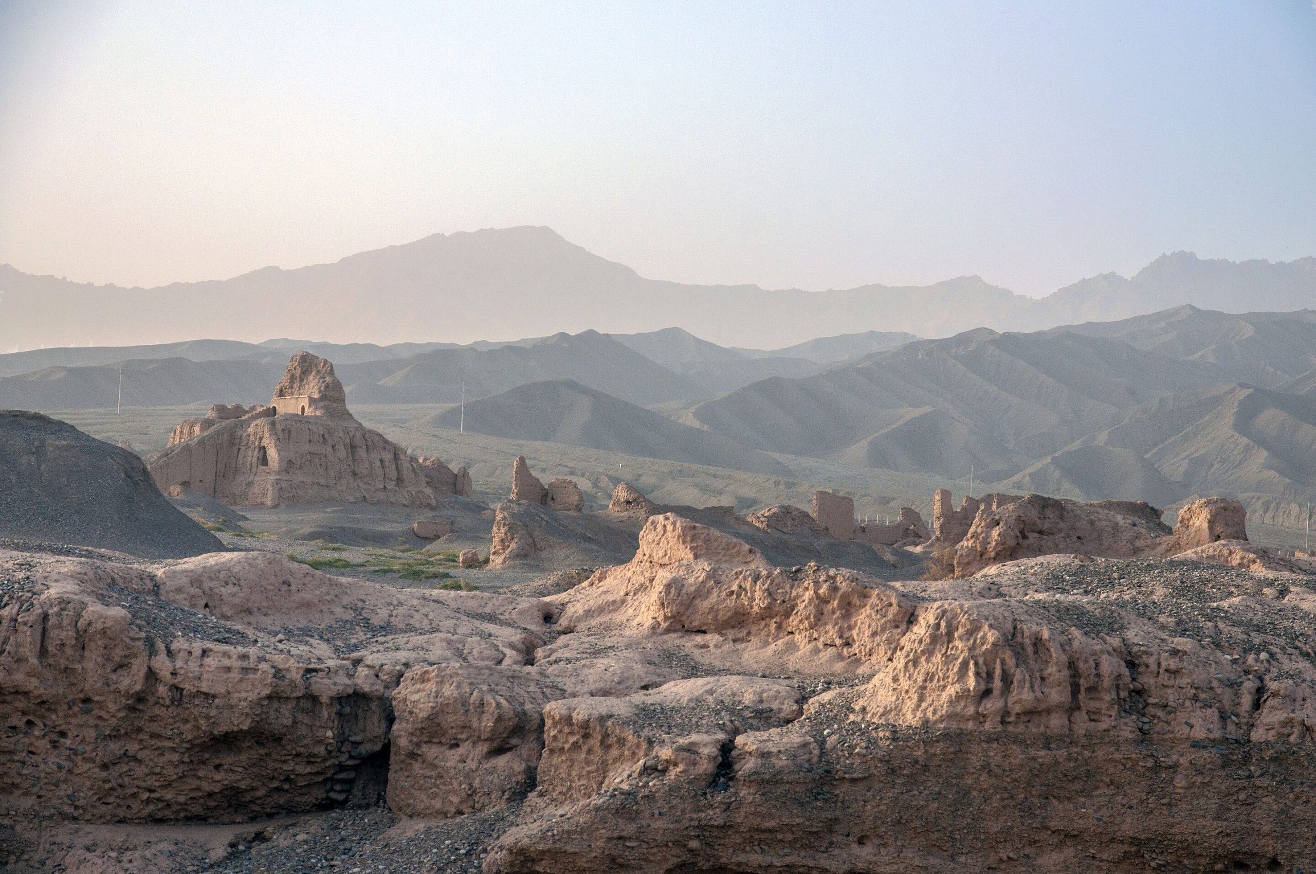
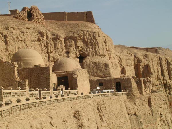
The ruins of Subashi Temple near Kucha:
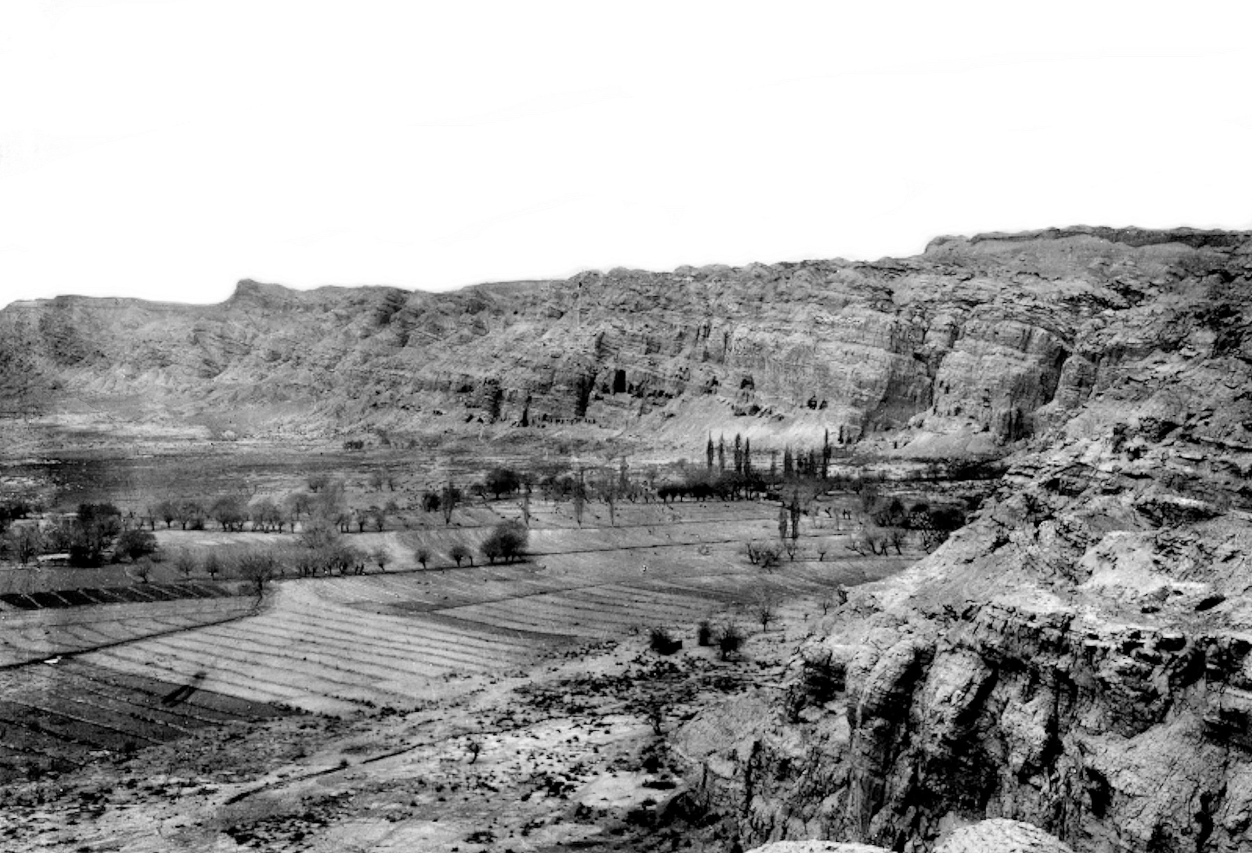
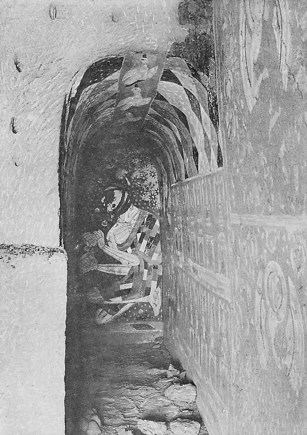
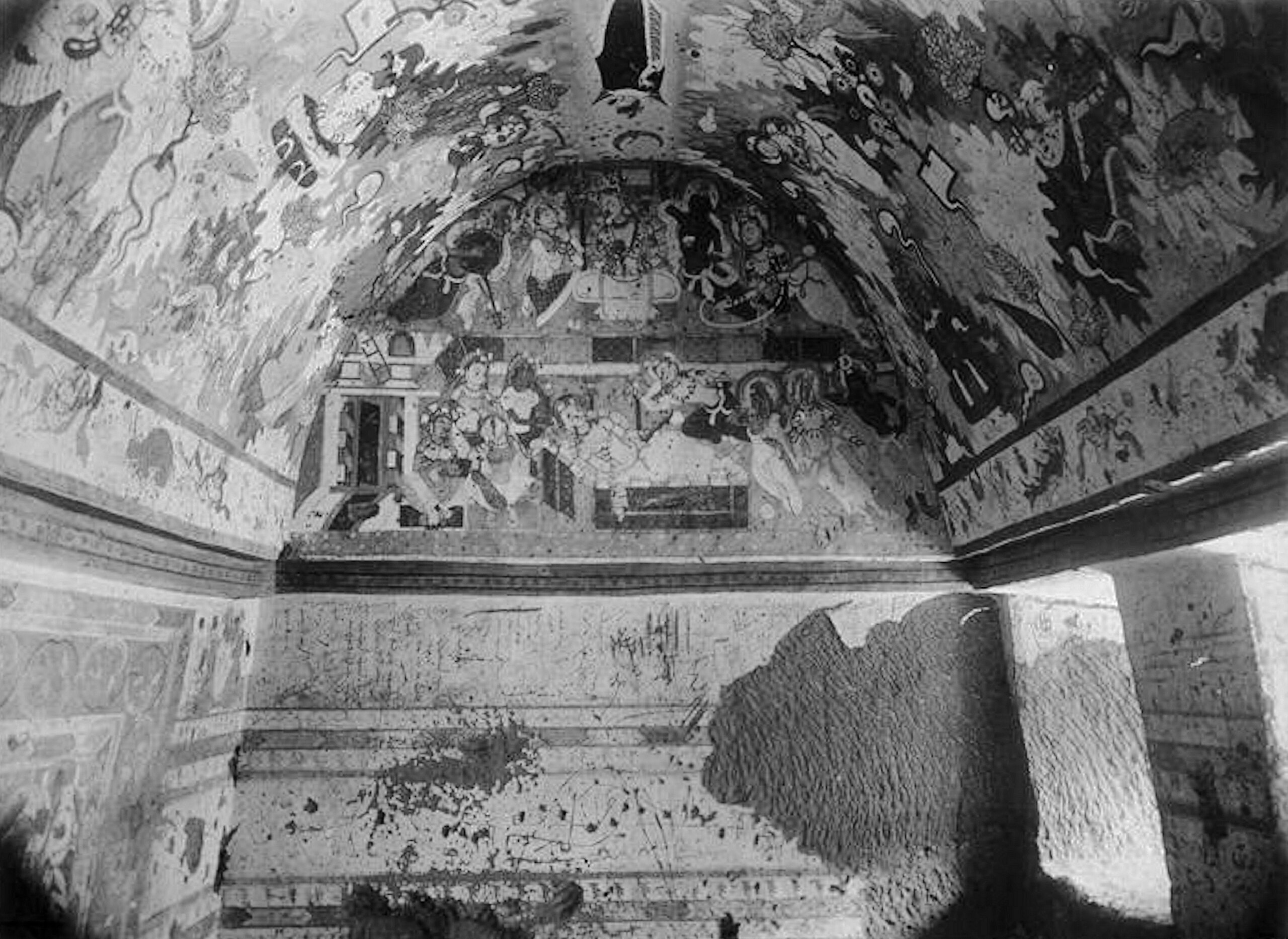
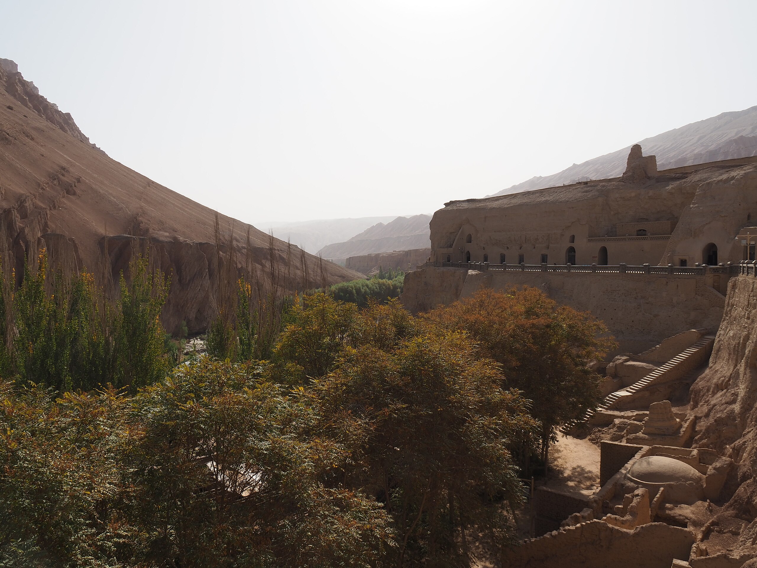
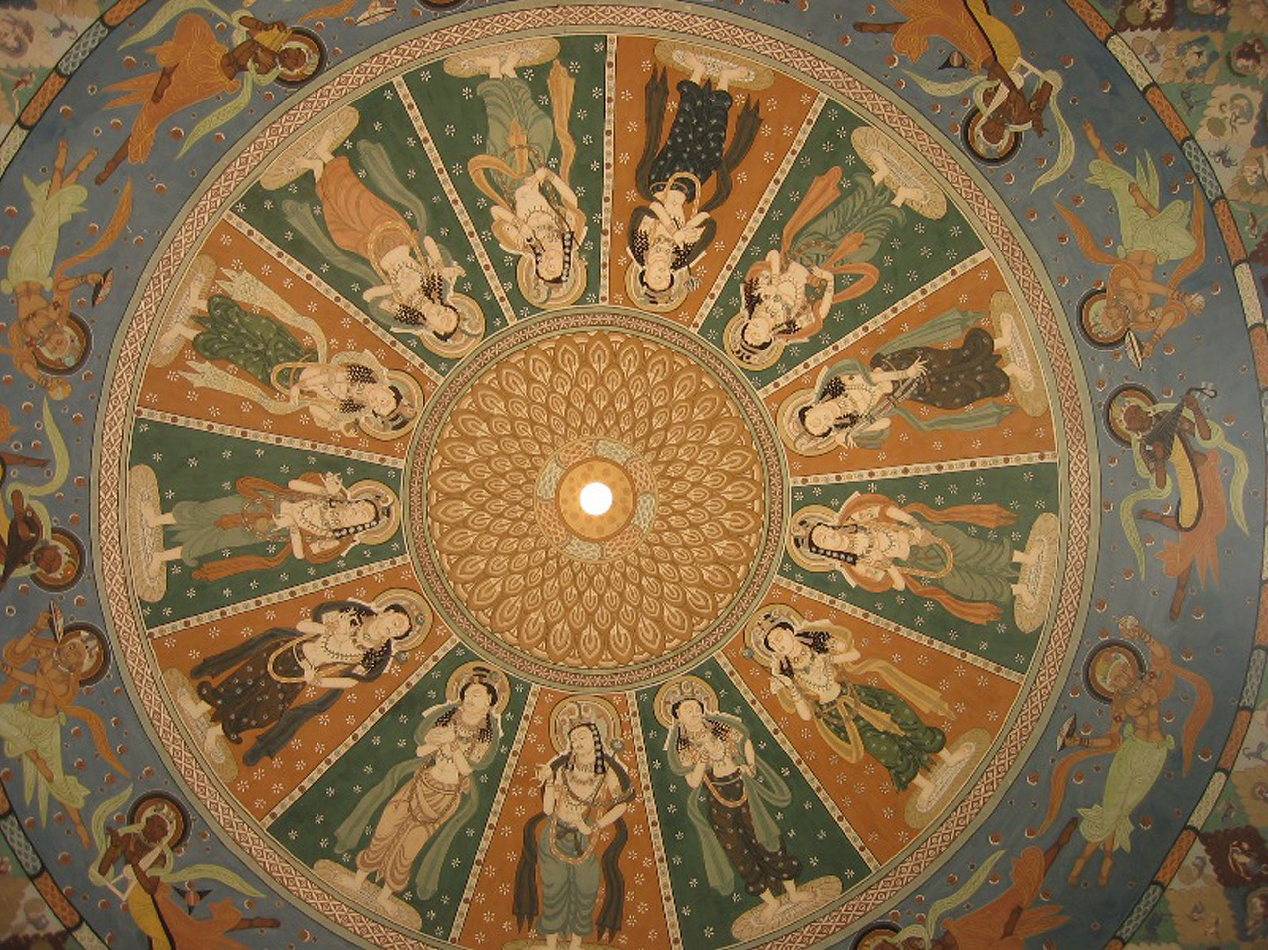
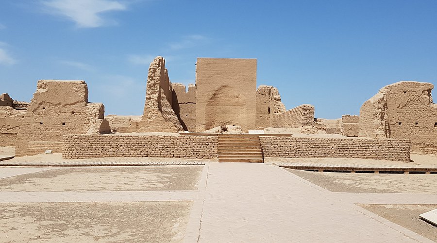
The ruins of Gaochang also called Karakhoja:
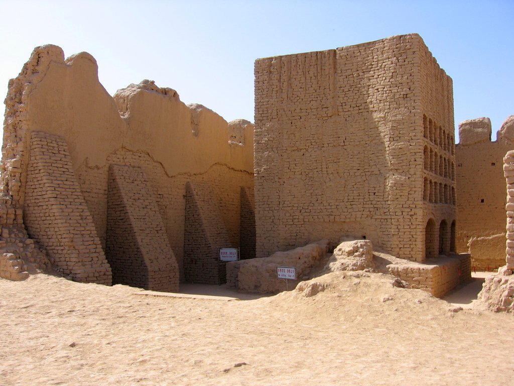
Ruins of Loulan city:
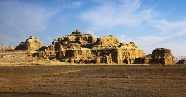
For brevity, I am only providing a small glimpse of each location even though there is much more to unpack for each. I’ve also omitted ruins such as Niya, Xiahohe, Revak Temple, Mogao Caves, the Tarim Mummies (that stupidly stirred up “controversy” because they didn’t look Asian) and much more.
What is going on here? I asked Grok AI to provide 1500s maps of the Taklamakan desert and here’s the answer I got:
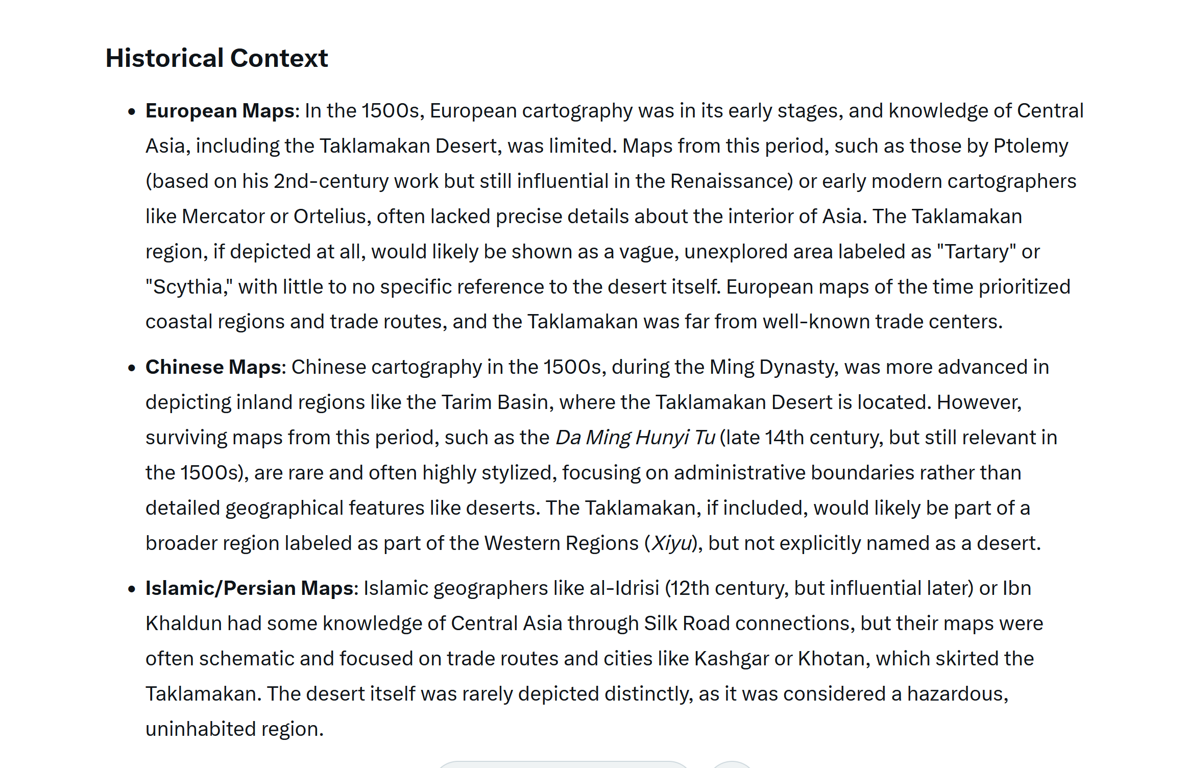
The mainstream claim that Asia “was not mapped out” is an easily refutable lie. Asia was well mapped out by Portolan maps well before the 1500s and even more so in the 1500s by both Asians and foreigners. I’ve previously shown several detailed 1500s maps of Asia.
Mainstream historians babble on about the importance of the “Silk Road”. They say it was used by every civilization and culture of antiquity. When questioned about History just about the only thing people know about these areas is “the Silk Road”. And yet, we can barely produce any maps of the areas through which the Silk Road passed? Amazingly, I did not find one single ancient map showing even the Silk Road itself! When quizzed for more about this famous “Silk Road”, details become sketchy.
The reason there are no maps of the Taklamakan desert – I knew this before asking – is because there was no desert. The old maps show lakes, rivers and cities. I can see from the maps that the desert starts small and expands over time. On old maps it was called “Lop Desert” (which is now the name of a small desert between Gobi and Taklamakan).
How did I know there was no desert? Because every single desert on Earth is proven to have at one time been fertile and populated. Look at the old maps. You find them all on this website.
These cities are now buried under sand and their History erased. Whoever destroyed these cities probably also had a part in destroying our memory of them.
I’m certain that if you were to go digging in the Tarim Basin (another word for Taklamakan Desert), you’d come across the cities we see on old maps and would find the treasures of old Tartaria. And if you’re too lazy to do that, I believe anyone browsing the desert on Google Earth will find unexplained anomalies.